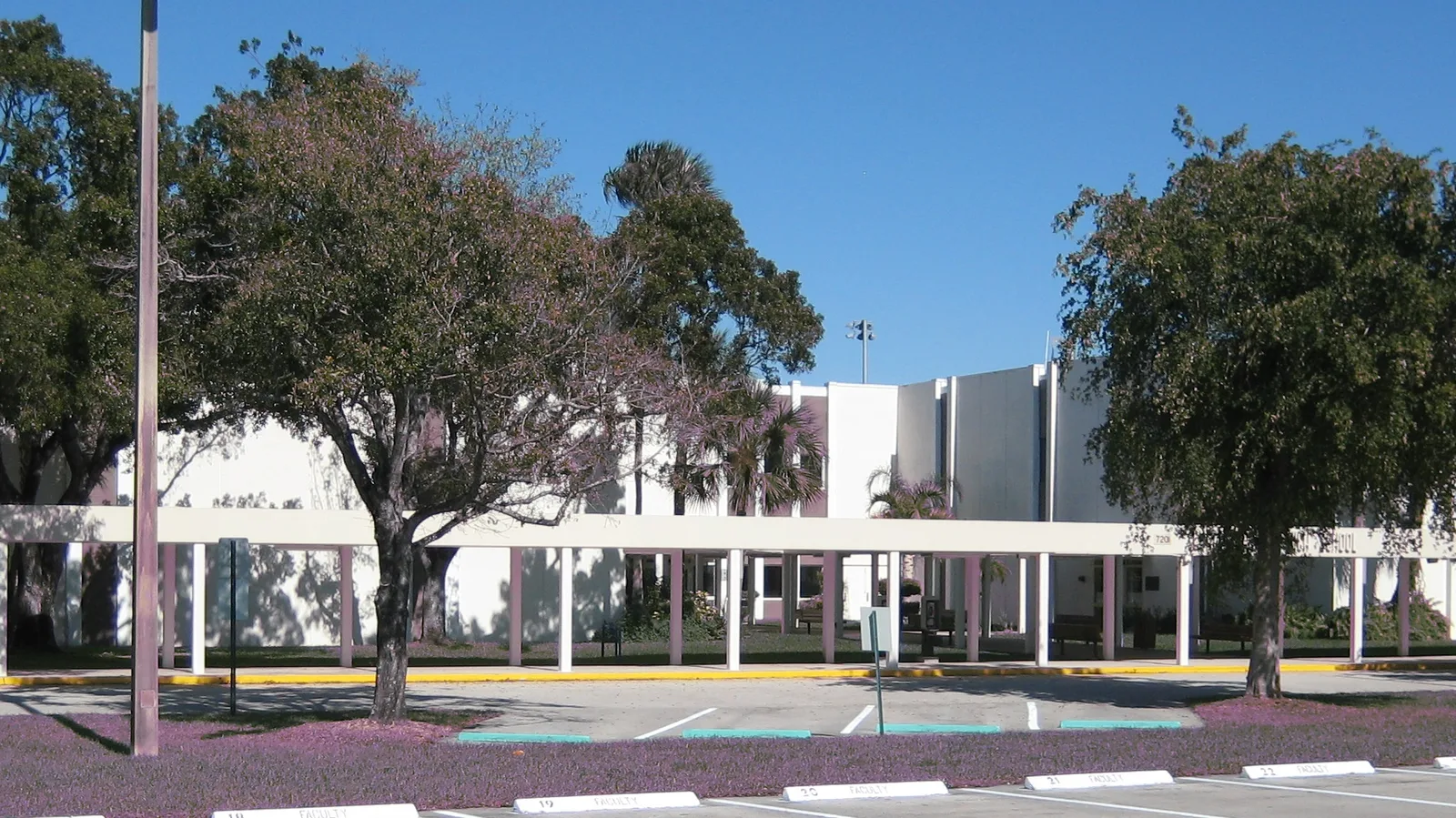
Turtle Run, in northeast Coral Springs near U.S. 441, has its own community development district and is zoned for Park Springs, Forest Glen and Coral Springs High.
Last checked Oct. 8, 2026. Sources: the Turtle Run Community Development District, the Broward County Property Appraiser’s neighborhood layer, Broward County’s address points and school boundaries, the Florida Department of Education’s 2026 school grades, Zillow Research, the city’s parks directory and Redefining Our Schools page, Broward County Transit and OpenStreetMap.
Turtle Run is in the northeast corner of Coral Springs, north of Sample Road and west of U.S. 441. It is the only area in our guide with its own local government: the Turtle Run Community Development District, which the city created in 1986 to plan, finance, build and maintain the community’s infrastructure, such as its lakes and drainage. Every address in the county’s Turtle Run neighborhoods is zoned for Coral Springs High.
What this means for you
- Zoned high school: Coral Springs High for every address, an A school in Florida’s 2026 grades. Check yours with the district’s Find My School tool.
- Home value: $754,146 in ZIP 33067 in August 2026, according to the Zillow Home Value Index.
- Nearest expressway exit: Sawgrass Expressway exit 18, U.S. 441, about 2.4 miles by road.
Part of our Coral Springs neighborhoods guide.
Where it is
Two sources draw Turtle Run differently:
- The community development district says its boundaries take in “approximately 550 acres of a community located at the northwest corner of the intersection of US 441 (SR 7) and Sample Road (SR 834) in Coral Springs,” on its district information page.
- The Property Appraiser’s neighborhood layer has three smaller polygons with the name: Turtle Run, about 124 acres, Archstone at Turtle Run, about 18 acres, and Newport at Turtle Run, about 25 acres. Wiles Road runs along the north side, Turtle Run Boulevard along the south and Creekside Drive along the east.
The figures on this page are for the county’s three polygons, which have about 430 street addresses in Broward County’s data, all in ZIP code 33067. Coral Springs High is a short distance southwest on Sample Road.
Schools
How the neighborhood’s addresses fall in Broward County’s 2025-26 school boundary layers, updated March 2026, with each school’s 2026 grade from the Florida Department of Education. The percentage is the share of the possible points the school earned.
| Level | School | Share of addresses | 2026 grade |
|---|---|---|---|
| Elementary | Park Springs Elementary, 5800 NW 66th Terrace (report card) | 100% | A (66%) |
| Middle | Forest Glen Middle, 6501 Turtle Run Blvd. (report card) | 100% | A (64%) |
| High | Coral Springs High, 7201 W. Sample Road (report card) | 100% | A (69%) |
Changes under review. Broward County Public Schools’ Redefining Our Schools plan names Forest Glen Middle, according to the city’s Redefining Our Schools page. The original proposal would repurpose it, keep sixth graders at elementary schools including Park Springs, and move seventh and eighth graders to Coral Springs High as a grades 7-12 school. The alternatives are a performing arts and music magnet at Forest Glen, or closing it and sending students to other middle schools. The School Board’s final vote is set for Tuesday, Dec. 15, and changes would take effect in 2027-28. More in our schools guide.
Home values
The typical home value in ZIP 33067 was $754,146 in August 2026, up 0.3% from $751,922 in August 2025, according to the Zillow Home Value Index. Zillow files this ZIP code under Parkland, which shares it, so the figure includes homes in Parkland. The index is a modeled typical value for the middle third of homes, single-family homes and condos together, not a sale price. The citywide Coral Springs figure was $523,439, down 1.9% on the year. More in our home prices guide.
Parks and trails
From the city’s parks directory, with locations from OpenStreetMap:
- Turtle Run Park, 6400 Wiles Road, 8.8 acres with a baseball and softball field, a playground, restrooms and sand volleyball, just west.
- Paul Barre Memorial Park, 4300 NW 69th Lane, 2 acres with two volleyball courts, a playground and a picnic pavilion, just west.
- Fern Glen Park, 4801 NW 66th Terrace, 18 acres with a playground, sand volleyball and bocce, about a sixth of a mile northeast.
- Tall Cypress Natural Area, 3700 Turtle Run Blvd., 68 acres with a nature trail and restrooms, run by Broward County, about a quarter mile south.
More in our parks and trails guide.
Getting around
- Expressway: Sawgrass Expressway (State Road 869) exit 18, U.S. 441 (State Road 7), about 2.4 miles by road from the middle of the neighborhood. The Sawgrass is a toll road.
- Downtown: about 3.6 miles to City Hall, 9500 W. Sample Road.
- Airport: about 22.6 miles to Fort Lauderdale-Hollywood International Airport.
- These are distances measured on the OpenStreetMap road network with the OSRM routing engine, not drive times.
- Bus: Broward County Transit route 19 (North State Road 7) stops on Turtle Creek Drive beside the neighborhood, according to BCT’s bus stop data. Times are in the RideBCT app or on BCT’s website.
More in our getting around guide.
The district and associations
The Turtle Run Community Development District is a unit of local government under Chapter 190 of Florida law, established Dec. 2, 1986, by City of Coral Springs ordinance. An elected Board of Supervisors runs it. Owners in the district pay its assessments as a non-ad valorem line on the Broward County tax bill each November, one part for debt and one for operations and maintenance. The board meets at 6 p.m. on the last Monday of most months at the Coral Bay Recreation Center, 3101 South Bay Drive, Margate; the next meeting is Monday, Oct. 26. The management office is at 954-721-8681.
The Property Appraiser’s neighborhood layer also records an association named Turtle Run for the 124-acre polygon. A district and a homeowners association are different bodies; ask for the documents of both before you buy. More on tax bills in our property tax guide.
Groceries and everyday stores
From OpenStreetMap:
- Walmart Supercenter, 3801 Turtle Creek Drive, about a sixth of a mile southeast
- Publix, 6270 W. Sample Road, about a third of a mile south
- Aldi, 6198 W. Sample Road, about a third of a mile south
- Winn-Dixie, 5600 W. Sample Road, about six-tenths of a mile southeast
How we drew this area
This page joins the Turtle Run, Archstone at Turtle Run and Newport at Turtle Run polygons in the Broward County Property Appraiser’s neighborhood layer, as published by Broward County GIS. The community development district’s own boundary is larger; we describe it from the district’s website. Addresses and school shares come from every Broward County address point inside the county polygons, matched to the county’s 2025-26 school boundary layers on Oct. 8, 2026. Store and park locations are © OpenStreetMap contributors.
Frequently asked questions
What schools serve Turtle Run in Coral Springs?
In Broward County’s 2025-26 school boundary data, every address in the Turtle Run neighborhoods is zoned for Park Springs Elementary, Forest Glen Middle and Coral Springs High. All three earned an A in Florida’s 2026 grades.
What is the Turtle Run Community Development District?
A special district the Coral Springs City Commission created in 1986. It covers about 550 acres at the northwest corner of U.S. 441 and Sample Road, has an elected board and collects its assessments on the Broward County tax bill. Its office number is 954-721-8681.
What ZIP code is Turtle Run in?
- Zillow, which files that ZIP code under Parkland, put the typical home value there at $754,146 in August 2026, up 0.3% from a year earlier.
Is Turtle Run a good place to live?
Here are the facts. Turtle Run has Turtle Run Park next door and the county’s 68-acre Tall Cypress Natural Area nearby, a Walmart Supercenter and two supermarkets within a third of a mile, and every address zoned for Coral Springs High, an A school in 2026.
Have your say