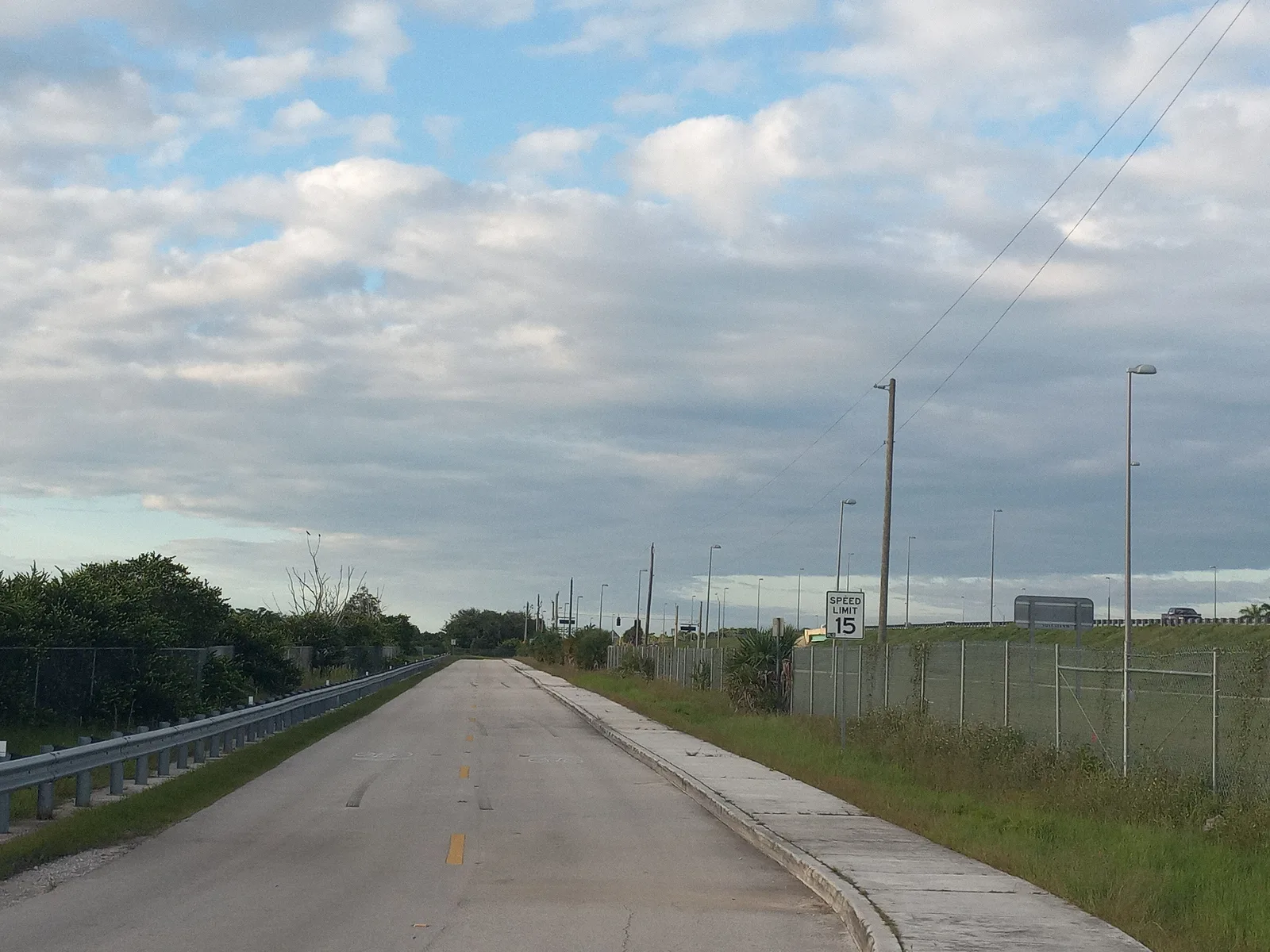
Shadow Wood, about 290 acres between Atlantic and Southgate boulevards in ZIP 33071, is zoned for Ramblewood Middle and J.P. Taravella High, both A schools.
Last checked Oct. 8, 2026. Sources: the Broward County Property Appraiser’s neighborhood layer, Broward County’s address points and school boundaries, the Florida Department of Education’s 2026 school grades, Zillow Research, the city’s parks directory, Broward County Transit and OpenStreetMap.
Shadow Wood is a neighborhood of about 290 acres on the southern edge of Coral Springs, between Atlantic Boulevard and Southgate Boulevard, east of University Drive. It has its own small park and a 21-acre natural area beside it, and the supermarkets of University Drive are just to the north. Every address is zoned for J.P. Taravella High.
What this means for you
- Zoned high school: J.P. Taravella High for every address, an A school in Florida’s 2026 grades. Check yours with the district’s Find My School tool.
- Home value: $590,058 in ZIP 33071 in August 2026, according to the Zillow Home Value Index.
- Nearest expressway exit: Sawgrass Expressway exit 8, Atlantic Boulevard, about 3.8 miles by road.
Part of our Coral Springs neighborhoods guide.
Where it is
In the Property Appraiser’s neighborhood layer, Shadow Wood is one polygon of about 292 acres. Atlantic Boulevard runs along the north side and Southgate Boulevard along the south, which is the city’s southern limit; the west end is near University Drive. Ramblewood is across Atlantic Boulevard to the north. Broward County’s address data has about 640 street addresses here, all in ZIP code 33071.
Schools
How the neighborhood’s addresses fall in Broward County’s 2025-26 school boundary layers, updated March 2026, with each school’s 2026 grade from the Florida Department of Education. The percentage is the share of the possible points the school earned.
| Level | School | Share of addresses | 2026 grade |
|---|---|---|---|
| Elementary | Ramblewood Elementary, 8950 Shadow Wood Blvd. (report card) | 74% | A (69%) |
| Elementary | Riverside Elementary, 11450 Riverside Drive (report card) | 26% | A (70%) |
| Middle | Ramblewood Middle, 8505 W. Atlantic Blvd. (report card) | 100% | A (69%) |
| High | J.P. Taravella High, 10600 Riverside Drive (report card) | 100% | A (71%) |
All four schools also earned an A in 2025. Because the elementary zone splits inside the neighborhood, check the exact address with the district’s Find My School tool. More in our schools guide.
Home values
The typical home value in ZIP 33071 was $590,058 in August 2026, down 0.5% from $592,795 in August 2025, according to the Zillow Home Value Index. The index is a modeled typical value for the middle third of homes, single-family homes and condos together, not a sale price, and it covers the whole ZIP code, not just this neighborhood. The citywide Coral Springs figure was $523,439, down 1.9% on the year. More in our home prices guide.
Parks and trails
From the city’s parks directory, with locations from OpenStreetMap:
- Shadow Wood Park, 9350 SW 1st Place, 2 acres in a natural setting, at the neighborhood’s edge.
- Three Mountains Natural Area, 9200 NW 1st St., 21 acres in a natural setting with a playground, beside the neighborhood.
- Kiwanis Park, 520 Ramblewood Drive, with a nature trail, a pavilion, a playground and a community center, about a fifth of a mile north.
- Whispering Oaks Park, 10100 NW 6th St., 6 acres with a pavilion, a playground and exercise stations, a little under half a mile west.
More in our parks and trails guide.
Getting around
- Expressway: Sawgrass Expressway (State Road 869) exit 8, Atlantic Boulevard, about 3.8 miles by road from the middle of the neighborhood. The Sawgrass is a toll road.
- Downtown: about 3.5 miles to City Hall, 9500 W. Sample Road.
- Airport: about 17.9 miles to Fort Lauderdale-Hollywood International Airport, the shortest of any area in our guide.
- These are distances measured on the OpenStreetMap road network with the OSRM routing engine, not drive times.
- Bus: Broward County Transit routes 2 (University Drive), 42 (Atlantic Boulevard) and 62 (McNab Road) stop on University Drive, Atlantic Boulevard and Riverside Drive near the neighborhood, according to BCT’s bus stop data. Times are in the RideBCT app or on BCT’s website.
More in our getting around guide.
Homeowners association
The Property Appraiser’s neighborhood layer records an association named Shadow Wood for this neighborhood. Association rules and fees are not public records we can check; ask for the governing documents before you buy.
Groceries and everyday stores
From OpenStreetMap, along University Drive to the north:
- Aldi, 651 N. University Drive, about a tenth of a mile north
- Whole Foods Market, 810 N. University Drive, about a third of a mile north
- Publix, 1285 N. University Drive, about half a mile north
How we drew this area
This page uses the Shadow Wood polygon in the Broward County Property Appraiser’s neighborhood layer, as published by Broward County GIS. Addresses and school shares come from every Broward County address point inside it, matched to the county’s 2025-26 school boundary layers on Oct. 8, 2026. Store and park locations are © OpenStreetMap contributors.
Frequently asked questions
What schools serve Shadow Wood in Coral Springs?
In Broward County’s 2025-26 school boundary data, every address is zoned for Ramblewood Middle and J.P. Taravella High. The elementary zone is split: 74% of addresses go to Ramblewood Elementary and 26% to Riverside Elementary. All four earned an A in Florida’s 2026 grades.
What ZIP code is Shadow Wood in?
- Zillow put the typical home value in that ZIP code at $590,058 in August 2026, down 0.5% on the year; the figure covers the whole ZIP code.
Is Shadow Wood in Coral Springs a good place to live?
Here are the facts. Shadow Wood covers about 290 acres on the city’s southern edge with about 640 street addresses, Shadow Wood Park and the 21-acre Three Mountains Natural Area, and every address zoned for J.P. Taravella High, an A school in 2026.
How far is Shadow Wood from the airport?
About 17.9 miles by road to Fort Lauderdale-Hollywood International Airport, the shortest of any area in our guide, measured on the OpenStreetMap road network.
Have your say